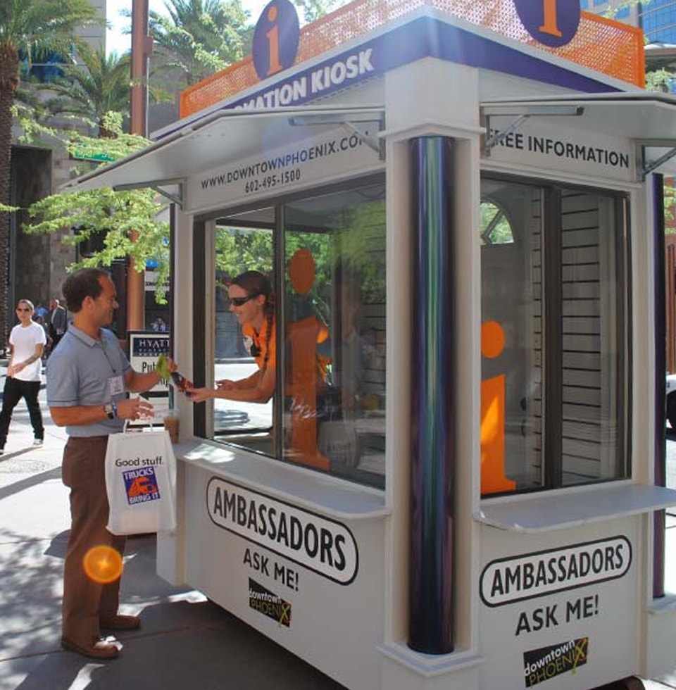
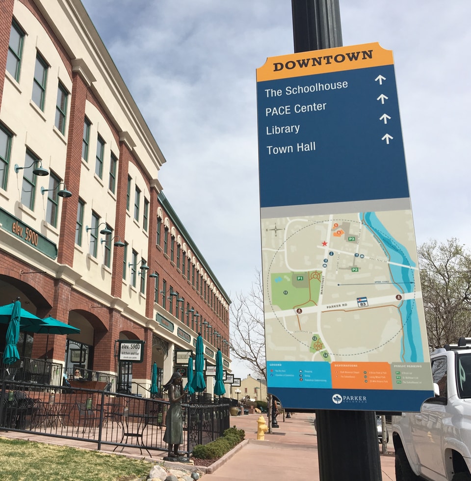
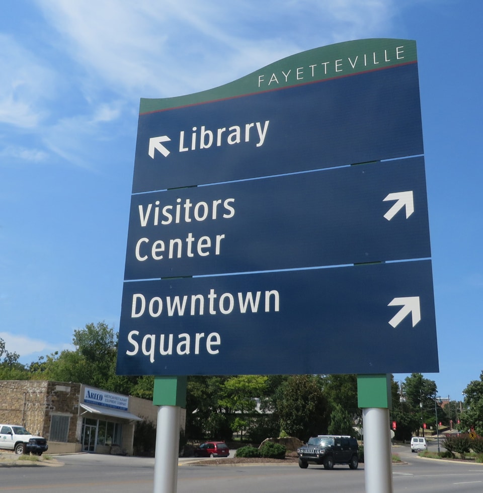
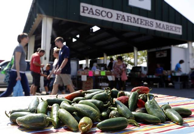
Communities

Downtown Tampa Welcome ID

Tampa

Downtown Tampa is currently experiencing a resurgence of development interest including creating a continuous pedestrian walkway along its waterfront (Tampa Riverwalk), building residential towers, adding new museums, attracting larger conventions and hosting more activities to attract people downtown on nights and weekends.

Tampa Downtown Partnership has been joined by local, county and state agencies to develop a wayfinding and identity system to connect the clusters in the downtown urban core. The project’s Steering Committee, selected MERJE to design a wayfinding program that projects a consistent image, eases vehicular congestion, promotes walking and mass transit and be sustainable as well as expandable. Wayfinding issues include the creation of districts, clear direction to parking and large event wayfinding.

Spokane County, WA Map

Spokane County

Spokane is a vibrant city, with a roaring river that offers the best of urban living with a closeness to nature. White water rafting, Broadway shows and local wineries and craft breweries make this an exciting place to explore.

The Spokane Regional Wayfinding Program is a collaborative effort between Spokane County, the City of Spokane, City of Spokane Valley, City of Liberty Lake, West Plains Chamber of Commerce, Downtown Spokane, Washington Department of Transportation and the Spokane Regional Transportation Council.

The design incorporates natural materials, bright accent colors and opportunities to include artistic sculptural elements. Gateways will mark the entry to Spokane County, as well as each of the regional towns and districts. Within the City of Spokane color-coded directional signage will help guide visitors throughout the Districts.

Savannah, GA

Savannah

The City of Savannah’s Department of Tourism and Film has retained MERJE for the development of a pedestrian focused wayfinding program for The National Historic Landmark District and Convention District. The Historic District encompasses one of the largest urban forests in the nation. The renowned city street plan of public squares and gardens offers a unique environment that is easily walk-able and a place where discovering the varied architecture, landscape and hidden details is all part of the journey.

The plan focuses on promoting multi-modal transportation. Visitors are directed first to parking garages and then encouraged to explore Savannah on foot with the aid of shuttle and ferry services. Along with pedestrian level directional signs, maps, and kiosks, the design utilizes custom Icons to guide visitors to their destinations.

San Diego Wayfinding

San Diego

The heart of San Diego beats in the Embarcadero, Gaslamp Quarter, Little Italy, Petco Park, and museums, boutiques and restaurants that populate Downtown. With the new wayfinding system, first-time visitors to America’s favorite city will have no trouble finding the pulse.

Designed by MERJE and Rick Engineering, the project includes 230 signs and markers that take the guesswork out of navigating downtown for both pedestrians and drivers. New kiosks feature easy-to-read maps that highlight tourist and historic attractions, several neighborhoods now have their own district signs, and brass compasses embedded in the pavement every few blocks aid the hunt for urban treasure. Maps include QR codes that direct smartphone users to attractions and civic landmarks. Developed after extensive community engagement, the new design captures intrinsic San Diego elements of sailing and the sea. The project also includes strategies for implementation, long-term maintenance and coordination with the California Department of Transportation.

Portsmouth NH Wayfinding Program

Portsmouth, NH

The City of Portsmouth scenic location on the Piscataqua River and its rich maritime and architectural history make it a popular tourist destination. There are numerous cultural organizations, historic sites, and other destinations that draw a significant amount of visitors to this part of the seacoast. Many of Portsmouth’s historic sites and visitor attractions are located within the compactly-settled, vibrant and distinctive downtown along with numerous retail shops and restaurants.

The City selected MERJE to develop an overall wayfinding Master Plan and Signage program for the city. The wayfinding program provides consistent and attractive information to assist the traveling public to navigate efficiently to key destinations within the City. The project considers wayfinding needs for all modes of travel including for motorized vehicles, bicyclists, and pedestrians, and reflects the distinctive and creative character of the City.

Phoenix Information Kiosk

Phoenix

From sun-up to sundown and well into the night, Downtown Phoenix provides a truly unique urban environment. The project was a comprehensive wayfinding program that included wayfinding analysis and the design and planning of gateways, vehicular directional, parking lot trailblazers and pedestrian signage. MERJE also developed designs for the downtown visitor center, banners, and a manned ambassadors kiosk. The program meets the functional requirements traffic engineering criteria, along with the effects of the arid desert environment.

Parker, CO Pedestrian Sign and Orientation Map

Town of Parker

The Town of Parker is located in northern Douglas County approximately 20 miles southeast of downtown Denver. MERJE has been hired to develop a town-wide wayfinding program. Much of the focus for this project is concentrated in walkable Downtown Parker, where shopping, dining and the arts are the primary activity. The system will also connect visitors and residents alike to the local park system and Regional Cherry Creek Trail.

The design of the system, looks to reflect both Parker’s traditional architecture, strong family-oriented community and natural features. The system includes, District gateways, pedestrian signage, kiosks, connections to trails and vehicular signage that will efficiently circulate people to parking and various local destinations. The color pallet helps to communicate
an active, vibrant and friendly community.

Ocala

Ocala

The charming city of Ocala, Florida was constantly being tied to Marion County – the “Horse Capital of the World”, in which Ocala resides. The City wanted an identity of its own that focused on family, diversity, their central location in Florida, and provided a feeling of connectivity across the city.

MERJE created a new identity and brand for Ocala that wove together the unique aspects of the city. The new city logo is friendly, colorful and the ring around the “O” is a nod to the central location of Ocala in the state. The tagline: “Find Your Place” speaks to the fact that there is much more to Ocala than horses, and challenges visitors and residents alike to become involved in all the city has to offer. This new brand is being carried through in new wayfinding signs, exciting gateways, and other marketing materials that connect and promote the city in a fresh, open way.

Northwest Arkansas Vehicular Sign

Northwest Arkansas

Nestled in the beautiful hills of the Ozark Plateau, Northwest Arkansas (NWA) is one of the fastest growing metropolitan regions in the country. MERJE is currently working with the Northwest Arkansas Council to develop a regional wayfinding program. Originally developed as a citywide program for the City of Bentonville, the project was so successful it was expanded to be inclusive of the entire northwest Arkansas region and now connects the municipalities of Fayetteville, Bentonville, Rogers, Springdale, Shilom Springs, Eureka Springs, Lowell and Bella Vista.

The project was installed in 2014. The comprehensive program provides a singular design for the region, but also allows for each town to promote their own identity through individual use of color and graphic elements.

Novato City Hall

Novato

In its continuing efforts to transform Downtown Novato into the cultural heart of the community, with a distinctive shopping, dining, and entertainment area, the City of Novato has engaged MERJE to develop a comprehensive wayfinding signage program that can be modified or expanded as the downtown develops, and new destinations are added.

The wayfinding signage program will meet the needs of the residents as well as visitors. All transportation modes within the City, and along major access thoroughfares, are being considered. Street level vitality, legibility, safety, maintenance, and replacement costs are all major concerns in creating an informational, user-friendly, wayfinding signage program.