Georgetown, Texas, a gem in the heart of the Lone Star State, is renowned for its picturesque downtown square, rich history, and vibrant community events. As the home to the “Most Beautiful Town Square in Texas,” Georgetown attracts countless visitors yearly, drawn by its unique blend of historical charm and modern amenities.
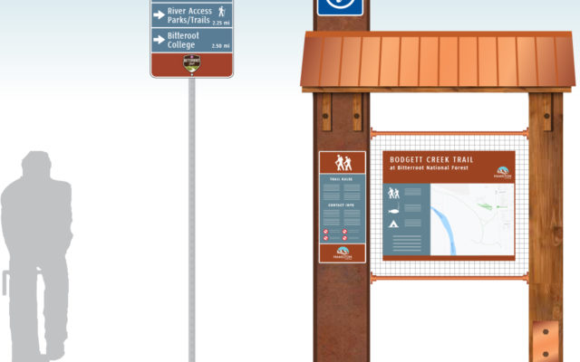
MERJE has planned and designed a functional wayfinding program that extends the City’s new brand identity. The signage, designed with themes representing artistic poppies, which Georgetown is known for, reflects the City’s unique character and charm. Integrating this iconic symbol into the everyday experience of navigating the City as artistic patterns helps reinforce Georgetown’s identity and makes the wayfinding system a memorable part of the visitor experience.
As Georgetown continues to grow and attract more residents and visitors, a comprehensive wayfinding system that includes City and District Gateways, Vehicular Directions, Pedestrian, Parking, and Trail Signage will be instrumental in ensuring that anyone can fully enjoy the charm and beauty of this remarkable City.