parks + trails

Callaway Resort & Gardens

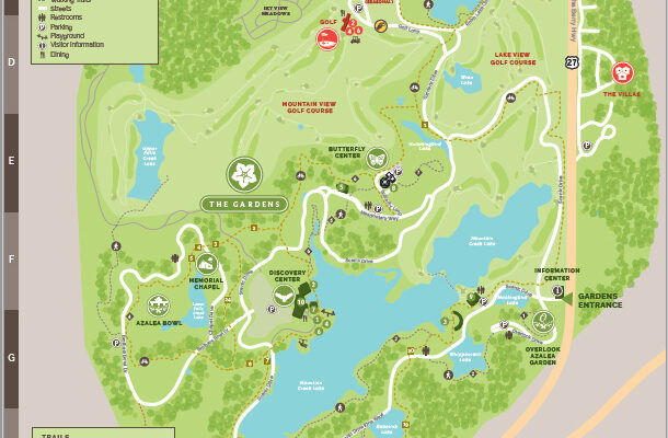
Callaway Resort & Gardens is a 2,500-acre resort complex located near Pine Mountain, Georgia. Attracting over 750,000 visitors annually, the property includes the world’s largest azalea garden and was ranked as Best Georgia Attraction in 2018 by USA Today. The property is owned and operated by Herschend Family Entertainment.

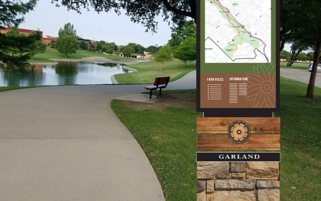
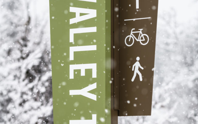
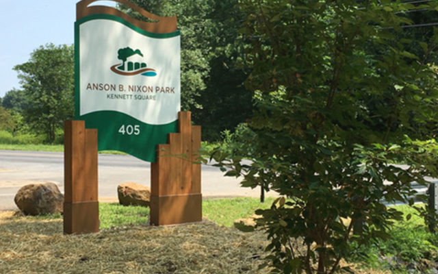
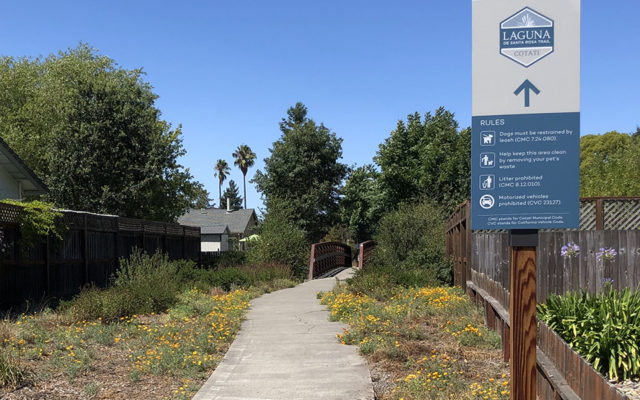
Over the years, on-site signage had become inaccurate, inconsistent and cluttered around the site. Based on our previous work with Herschend Family Entertainment, the company hired MERJE to conduct a Wayfinding Master Plan. The new plan clarifies entrances, creates zones and provides simplified messaging. Icons, color-coding and sustainable materials are utilized to create new entrance identification elements, street signs and vehicular directional signs.

The first initiative was the creation of a new orientation map, that establishes the graphic language for the overall wayfinding program. The use of color and zone icons are key component to the design.

Boston Blue Bikes (LYFT)

Everything is better on a bike! Bluebikes is Metro Boston’s public bike share program, with over 3,000+ bikes and more than 300+ stations across Boston, Brookline, Cambridge, Everett, and Somerville. It’s a fun, affordable and convenient transportation option for quick trips around town.

Blue Bikes (owned by Lyft) hired MERJE to develop the mapping system that is posted at 300+ bike stations across the regional bike share program. The base maps were designed in coordination with each city and include bike locations, public transit (T) stations, parks, landmarks and local destinations. Each map is adjusted to its location, with ¼ and ½ mile radius information.

Garland Parks

Located in Dallas County, approximately 15 miles northeast of downtown Dallas, Garland is a traditional first-ring suburb and home to over 233,000 residents. As far as the city’s new brand implementation strategy, the city hired MERJE to design and plan a wayfinding program that reinforced the new city identity/logo and focused on directing visitors to Downtown Garland. The design utilizes colors and graphics from their “firewheel” logo, creating a unifying design across many elements. Phase 1 included Downtown trailblazers, parking identification and Pedestrian directionals.

Baton Rouge Parks (BREC)

The Recreation and Park Commission for the Parish of East Baton Rouge (BREC) was created in 1946. It is BREC’s mission to contribute to a healthier, more vibrant community by providing exceptional parks, open spaces and recreational experiences for all of East Baton Rouge Parish. The BREC Parks System encompasses 6,624 acres across more than 180 parks broadly organized into four groups: trails, community parks, neighborhood parks, and special use facilities. The System is made up of a variety of trails, parks, swimming pools and activity areas. The system also includes special use facilities, including golf courses, the Baton Rogue Zoo, Cohn Arboretum and Farr Park Equestrian Center.

MERJE has been contracted to provide all planning, design, and implementation of a standardized signage and graphic manual for the BREC Parks System. The Sign Standards Manual will be used by BREC staff in all departments to implement a consistent program through the parks. The design considers communication of a consistent BREC identity, user experience requirements, materials that reflect the environment, costs and the management and maintenance of the overall sign program.

Whistler Valley Trail

Opportunity for outdoor recreation is everywhere in and around the Resort Municipality of Whistler (RMOW), British Columbia. In addition to the epic ski slopes, there are robust parks and trails systems, there are over 25 parks ranging from small neighborhood green spaces, to large community parks with numerous facilities. The gem of the Whistler Parks system is the Valley Trail, a 40 km (26 mi) paved path that runs the entire region and serves as the connection between many of the parks and Whistler Village.

Park signage is heavily branded with the RMOW identity to communicate the parks are a municipal asset. Pictograms are utilized to help communicate the types of activities that are available in each of the individual parks. Rules, regulatory and etiquette information are co-located on single structures to reduce signage clutter. Natural basalt stone accents and angular shapes create a design that is unique and of its place.

John Burroughs Black Creek Trail

The John Burroughs Black Creek Trail, located in Ulster County, NY, is a multi-modal 11-mile trail linking Illinois Mountain to the Hudson River through the Black Creek corridor. The goals of the trail development are to create a regional recreation destination, conserve the sensitive local ecology, and promote economic development within the Towns of Esopus and Lloyd, while connecting people to the writing, legacy, and natural world of John Burroughs.

MERJE has been contracted by Scenic Hudson, to work with local stakeholders including John Burroughs Nature Sanctuary, Ulster County, NYS Department of Environmental Conservation and the Towns of Esopus and Lloyd, on the design and planning of a comprehensive branding, wayfinding and interpretive signage program.

The design looks to the writing of John Burroughs for inspiration, takes cues form the dense forest like experience and incorporates natural materials and a rustic aesthetic to reflect the environment. The wayfinding addresses the multi-use aspect of the various segments of the trail from from biking, to paddling and hiking. Trailheads, information kiosks, maps and directional signs will help guide visitors along the trail, while telling the story of this uniquely preserved area.

Crossway Trails

The Michiana Area Council of Governments is working with MERJE to develop a new brand for the Michiana Area Trail Network. Trails that cross through 6 counties and two states will be branded as one trail system and have marketing and signage elements developed to unify the evolving network.

Interviews and design charettes were held with stakeholders and the public to gather insight of how the trails are viewed and used by residents. An on-line survey was also posted to gather additional public input. After reviewing the feedback, design concepts for a Trail System Logo were presented to the stakeholders and the public. Feedback was again gathered, revisions were made, and final logo designs were presented.

Anson B. Nixon Park

Located in Kennett Square Borough, Anson B Nixon Park, offers 106 acres, with a variety of activities and amenities, including an amphitheater, picnic pavilions, dog park, community garden, ponds, trails and soccer fields.

MERJE worked with the Kennett Area Park Authority (KAPA) to develop a new identity, entrance signs, kiosks and interpretive panels. The logo represents the different aspects of the park, with a focus on the iconic bandshell. New signage incorporates heavy wood posts and the new identity. MERJE also designed a new Park map that is available in English and Spanish.

918 Trails (INCOG)

The Indian Nations Council of Governments (INCOG) is a voluntary association of local and tribal governments in the Tulsa metropolitan area in northeast Oklahoma. INCOG provides planning and coordination services to assist in creating solutions to local and regional challenges. As part of the regional Trail Master Plan (GO Plan) the organization realized that many of the local trails have yet to see their maximum potential due to a lack of signage and the perceived disconnect of the existing trail system.

INCOG hired MERJE to develop a new trail system identity that would recognize the full trail network under an overall brand, but at the same time maintaining the recognition of existing trail names and logos. MERJE worked with stakeholder groups from across the 5 counties and numerous cities to develop the new logo and sign standards.

The system name originates from the local area code that captures the entire region and has significant recognition equity. The logo plays on the unique feature of the region, green lush environment, rivers and horizons. Brand imagery looks to communicate, the community involvement, family friendly events and the promotion of outdoor activities, such as mountain biking.

Cotati, CA

MERJE has been working with the City on the design of new Bicycle and Pedestrian Wayfinding Program. The system includes Downtown information hubs, pedestrian signage and bike directional signs. In addition the system branches out to the Laguna De Santa Rosa Trail, providing trailhead identification, kiosks and directional totems. The design utilizes the unique hexagon plaza as a primary shape and colors from local architecture and the natural environment. Sustainability, materials and long-term maintenance were also of primary concern.

The City of Cotati, with a population of roughly 7,300 residents, is located approximately 40 miles north of San Francisco at the gateway to Sonoma County’s wine country. Cotati has long been considered the “Hub” of Sonoma County by virtue of its central location and its distinct and historic hexagonal plaza, which is the heart of the City and its principal retail, entertainment, and services center.