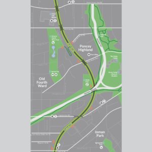
The Atlanta BeltLine Trail Wayfinding and Signage Program connects public parks, trails and transit along the loop, while communicating public safety, directional guidance and cultural points of interest to trail and transit users. Graphically connecting the neighborhoods that encircle the city is a key element of a comprehensive redevelopment plan to stimulate economic growth and enhance the quality of life for all residents.


Leave a Reply
You must be logged in to post a comment.